Lanzarote Paragliding Voxel
Interactive voxel-style 3D visualization of Lanzarote built with Three.js and WebGL
Overview
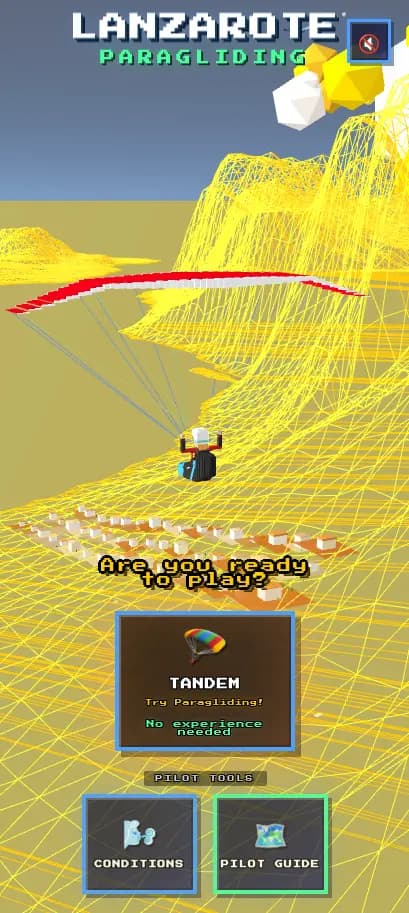
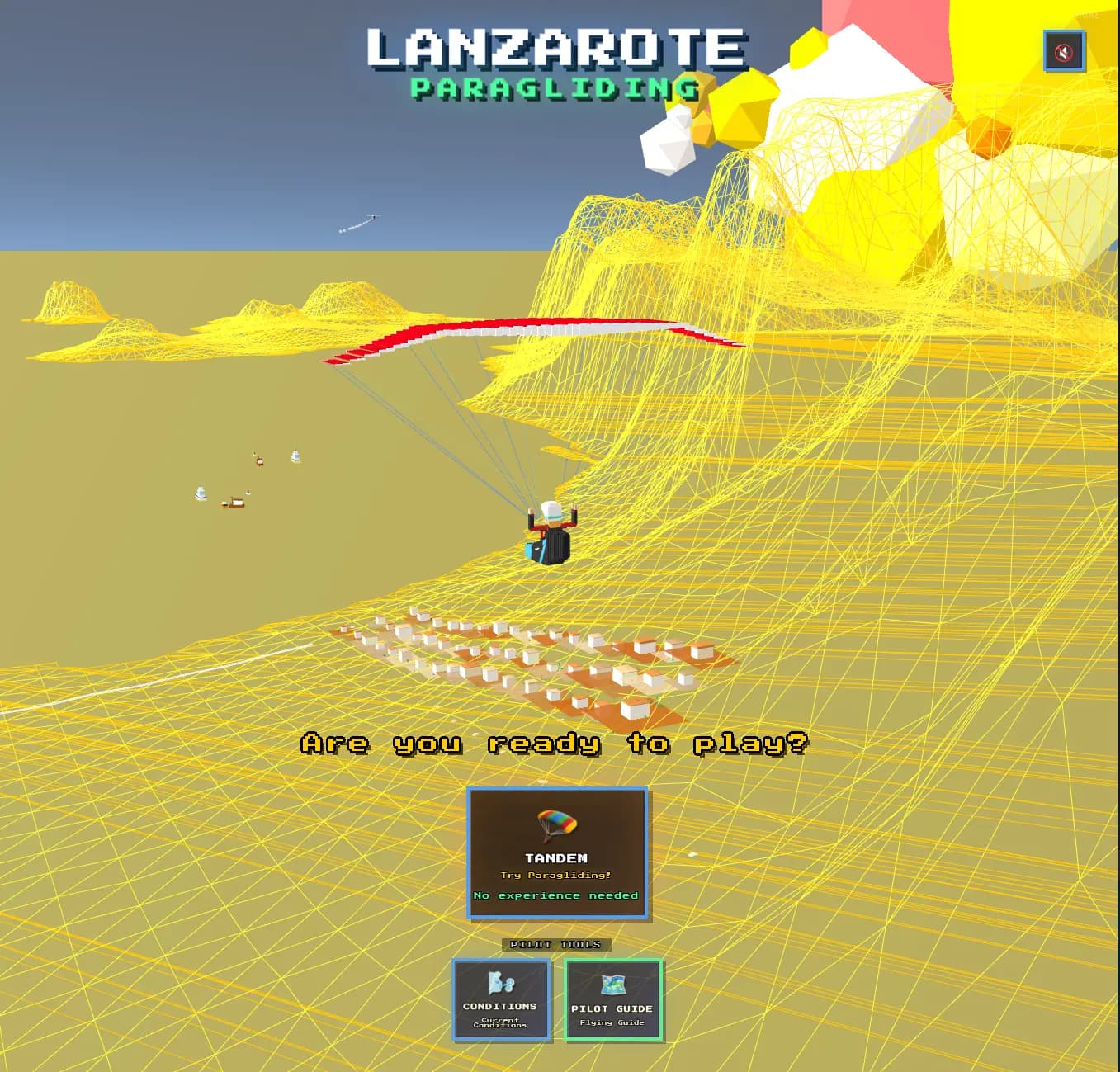
An interactive voxel-style paragliding experience showcasing the island of Lanzarote. Built with Three.js for WebGL rendering, featuring custom voxel models with terrain generation from elevation data. The project connects to pilot tools and flying guides for a complete paragliding resource.
Traditional 2D maps fail to convey the dramatic volcanic terrain of Lanzarote that makes it such a unique paragliding destination. Pilots and visitors needed an immersive way to explore the island's topography and understand the relationship between flying sites and landscape.
We created a voxel-style 3D representation of Lanzarote using Three.js and WebGL. Custom terrain generation algorithms convert real elevation data into stylized voxel blocks, creating a distinctive low-poly aesthetic. Interactive camera controls let users explore the island from any angle, with links to pilot tools and flying site information.
The voxel experience became a memorable entry point for the Lanzarote paragliding community, combining practical site information with an engaging visual experience that stands out from typical paragliding websites.
Key Features
Gallery