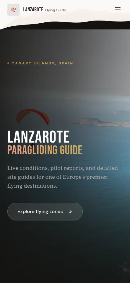
Lanzarote Flying Guide
Real-time paragliding conditions with flyability ratings and site explorer
Overview
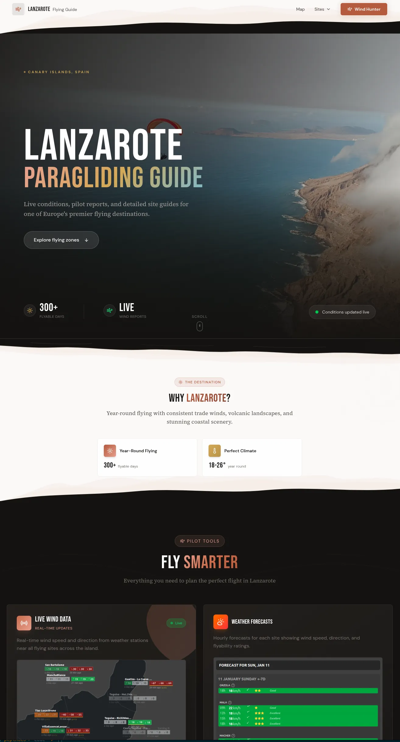
A specialized weather tool for paraglider pilots on Lanzarote. It aggregates meteorological data from multiple sources, calculates flyability scores for each launch site, and presents it in a pilot-friendly interface with wind roses, thermal forecasts, and site-specific recommendations.
Pilots were checking 3–4 different weather apps, cross-referencing wind direction tables, and still making judgment calls based on incomplete data. Each flying site has unique conditions — what works at Macher is dangerous at Famara. There was no single tool that understood Lanzarote's microclimates.
We built a custom flyability engine that ingests wind, thermal, cloud, and precipitation data from Open-Meteo and applies site-specific rules. Each of Lanzarote's flying sites has a profile with safe wind windows, altitude data, and hazard notes. The engine produces a simple green/amber/red rating with detailed breakdowns. Firebase handles real-time data syncing and user preferences.
Adopted by the local paragliding community as the go-to pre-flight tool. Pilots report faster and more confident go/no-go decisions. The site-specific approach has helped visiting pilots unfamiliar with local conditions fly more safely.
Key Features
Gallery