lanzaroteparagliding.com
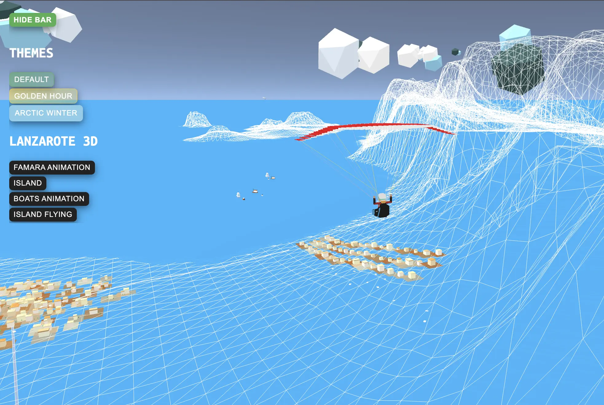
An interactive 3D visualization experiment showcasing the island of Lanzarote built with Three.js. This project explores the potential of WebGL for creating immersive paragliding experiences through realistic terrain modeling and flight simulation.
Key Features
- 3D terrain model of Lanzarote island
- Interactive camera controls for exploration
- Realistic topography based on elevation data
- WebGL-powered rendering with Three.js
- Optimized performance for smooth interaction
- Paragliding flight path visualization
- Dynamic lighting and shadows
- Responsive 3D viewport
Technical Implementation
Built using Three.js and WebGL, this experiment leverages height maps and terrain generation techniques to create an accurate 3D representation of Lanzarote's unique volcanic landscape. The project demonstrates advanced 3D web graphics capabilities for visualizing flight zones and paragliding routes.
Explore the 3D Lanzarote Model